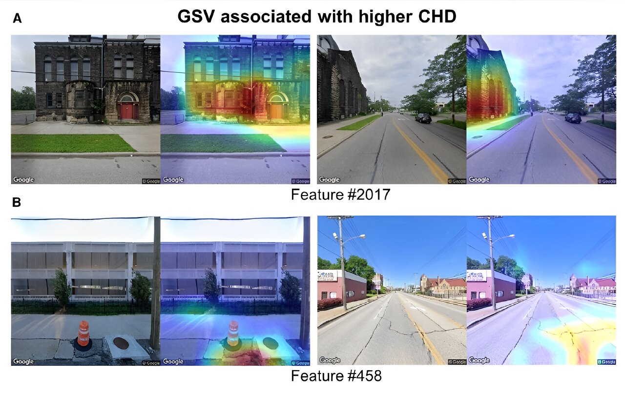
Researchers have used Google Street View to study hundreds of elements of the built environment, including buildings, green spaces, pavements and roads, and how these elements relate to each other and influence coronary artery disease in people living in these neighborhoods.


That’s cool—but it doesn’t actually give any info. What are the environmental risks found in these images?
This reads like it’s trying to sell something.
Did you read further down?
Basically they used analysis of street view to figure out what areas are friendly for walking, and compared that to data on health risks for that area.
Seems like a pretty tenuous link to me though.
They really need to correct for income, otherwise they’re just finding that poorer areas have worse health outcomes - which is pretty well known.
Yes, I read that. It just seemed very vague.