
- cross-posted to:
- privacy@lemmy.ml
- privacyguides@lemmy.one
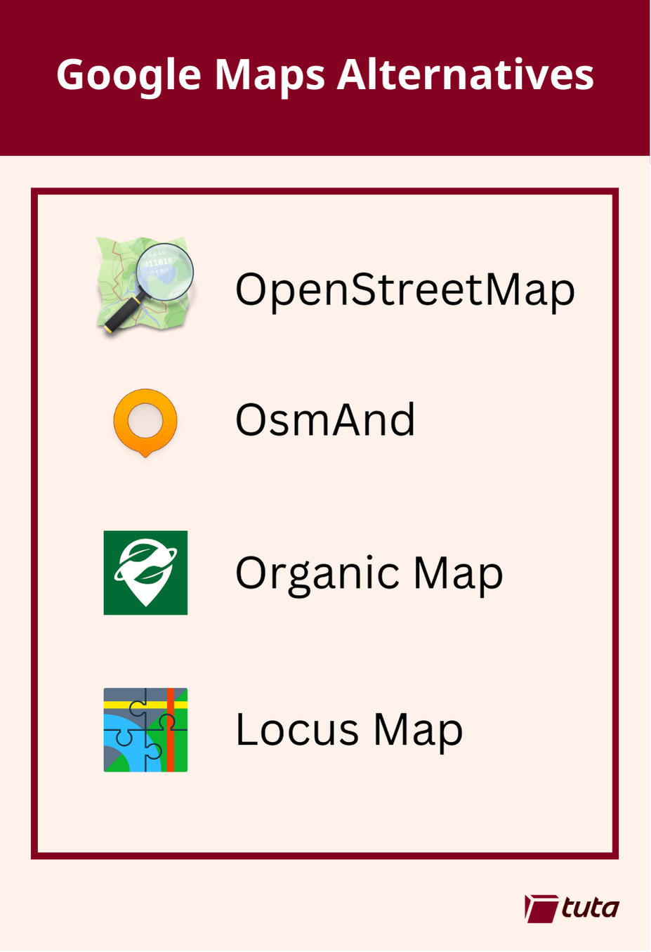
repeated media reports of Google’s disregard for the privacy of the general public led to a push for open source, community driven alternatives to Google Maps. The biggest contender, now used by Google’s direct competitors and open source projects alike is OpenStreetMap.
OsmAnd is a fantastic choice when searching for an alternative to Google Maps. It is available on both Android and iOS devices with both free and paid subscription options. Free accounts have full access to maps and navigation features, but choosing a paid subscription will allow you unlimited map downloads and increases the frequency of updates.
All subscriptions can take advantage of turn-by-turn navigation, route planning, map markers, and all the favorite features you expect from a map and navigation app in 2024. By making the jump to a paid subscription you get some extra features like topo maps, nautical depths, and even point-of-interest data imported from Wikipedia.
Organic Maps is a great choice primarily because they offer support for all features of their iOS and Android apps completely offline. This means if you have an old phone laying around, you can install the app, download the maps you need and presto! You now have an indepth digital map in the palm of your hand without needing to worry about losing or damaging your primary mobile device when exploring the outdoors.
Organic Maps tugs our heartstrings by their commitment to privacy. The app can run entirely without a network connection and comes with no ads, tracking, data collection, and best of all no registration.
Our third, and last recommendation today is Locus Maps. Locus Maps is built by outdoor enthusiasts for the same community. Hiking, biking, and geocaching are all mainstays of the Locus App, alongside standard street map navigation as well.
Locus is available in its complete version for Android, and an early version is available for iOS which is continuing to be worked on. Locus Maps offers navigation, tracking and routes, and also information on points-of-interest you might visit or stumble upon during your adventures.
It has traffic so it must have infrastructure to maintain, yet it also claims to be completely free.
How does this project make money?
Best info i could get is that they do a lot of bussiness to bussiness data stuff, and this nav app is like a showcase. That doesn’t feel great for long term, but you could use it as a secondary app?
That doesn’t sound too bad in the near term.
To be fair I feel like my lazy ass should’ve read their website further to get the same info, but then again, this exchange might save someone else a minute of scrolling the FAQ.
It says “crowdsourced traffic” so maybe they want lots of users to gather traffic data from.
https://www.magicearth.com/faq-en/