
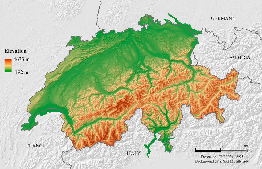
For example on wikipedia for Switzerland it says the country has an area of 41,285 km². Does this take into account that a lot of that area is actually angled at a steep inclination, thus the actual surface area is in effect larger than what you would expect when looking onto a map in satellite view?
The photo of the terraced farming actually brings up an interesting point–in order to render those slopes usable for farming, terracing approximates the “flat” projection of the terrain anyways, so you end up with the same result. Buildings and any other usable structures follow the same rule: you can only build vertically, so the effective surface area is the same as the flat projection.