It’s a portmanteau of DYnamic MAXimum tensION. All the things he labeled with the term were supposed to follow a unifying design principle of maximum performance for minimal energy input, based on carefully optimized interplay of internal forces. In the case of the map, this manifested in the minimizing geographic distortion.
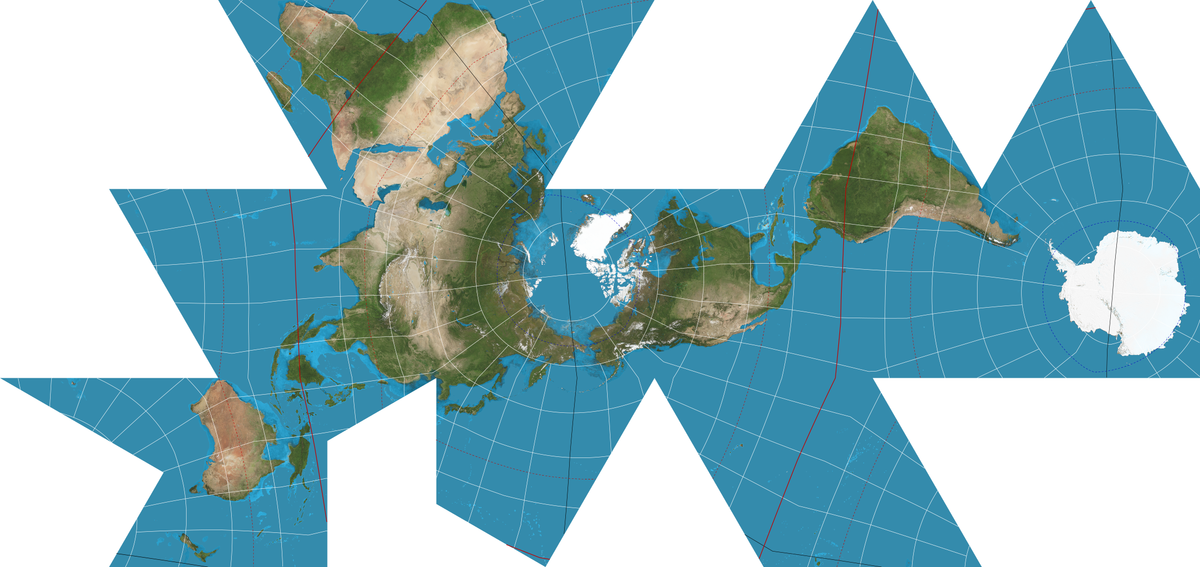
There is actually a second Dymaxion projection which preserves contiguity of water rather than land


It’s a portmanteau of DYnamic MAXimum tensION. All the things he labeled with the term were supposed to follow a unifying design principle of maximum performance for minimal energy input, based on carefully optimized interplay of internal forces. In the case of the map, this manifested in the minimizing geographic distortion.
There is actually a second Dymaxion projection which preserves contiguity of water rather than land